End Of Year Overview
The following is a continuation from ‘Pt 1.’ to give an overview of progress made during the year. The aim of this blog is to document the story beyond the AGM in June which was the last public announcement.
Trail Pits
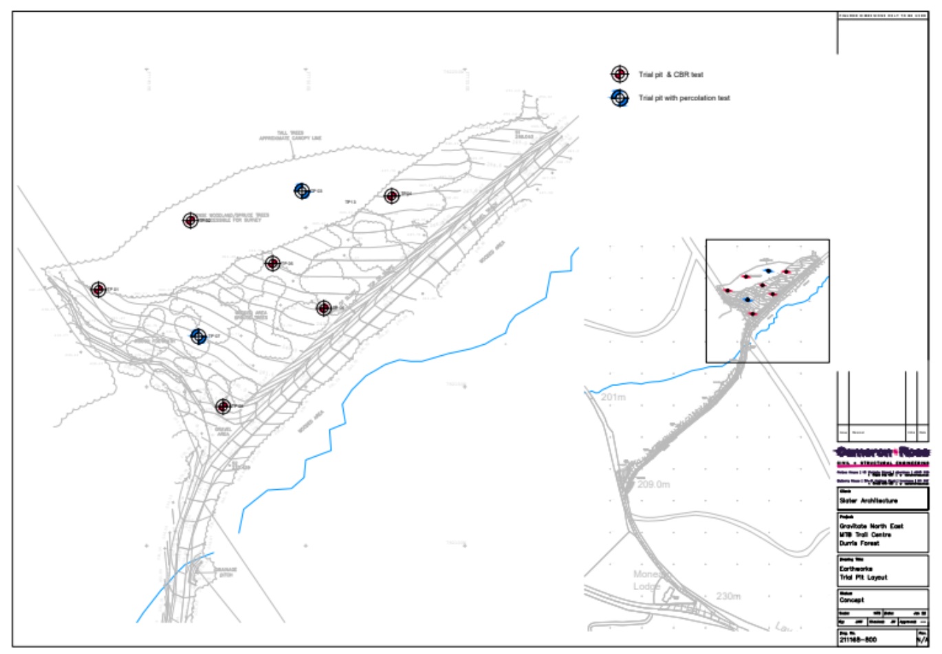
Due to forestry work followed by the storms at the end of 2021 and beginning of 2022, this meant that gaining access to the forests was some what of a challenge to perform trail pits, combined with ongoing felling operations within the site this put a large delay in the process to gain access from FLS. Therefore, the progression of required supporting data and documentation for planning application (Detailed in Pt.1) was progressed so this aspect was the last piece of the puzzle.

Eight Trail pits were conducted in the above locations at the site which the carpark would be located along with some further areas further within the location of the trail that were easily accessible. The following is an overview of the findings from the trail Trail Pits:
On average, the topsoil depth is 1.75m of dark brown topsoil / peat with abundant cobbles.
On average, there is a layer of approximately 0.25m depth of light brown sand with abundant cobbles below the topsoil.
On average, granite bedrock is located at 2.0mbgl.
No groundwater has been encountered at any of the trial pits.
Good infiltration present in the topsoil/peat and sand layers but this will be limited due to existing granite bedrock underneath.
This complication identifies is that the layer of topsoil / peat would need to be excavated and disposed of as the organic material does not have the required ground bearing for both building a car park and trails. The abundance of boulders could be re-used but this would have an effect on the budget, duration and carbon footprint on the project by sorting and crushing. Trees across the site would now unlikely be retained due to the level of the excavations required. Finally an infiltration-based drainage strategy would not be feasible as the water could not permeate the ground due to bedrock for any water supplies or toilet facilities.
Quantity Surveyor
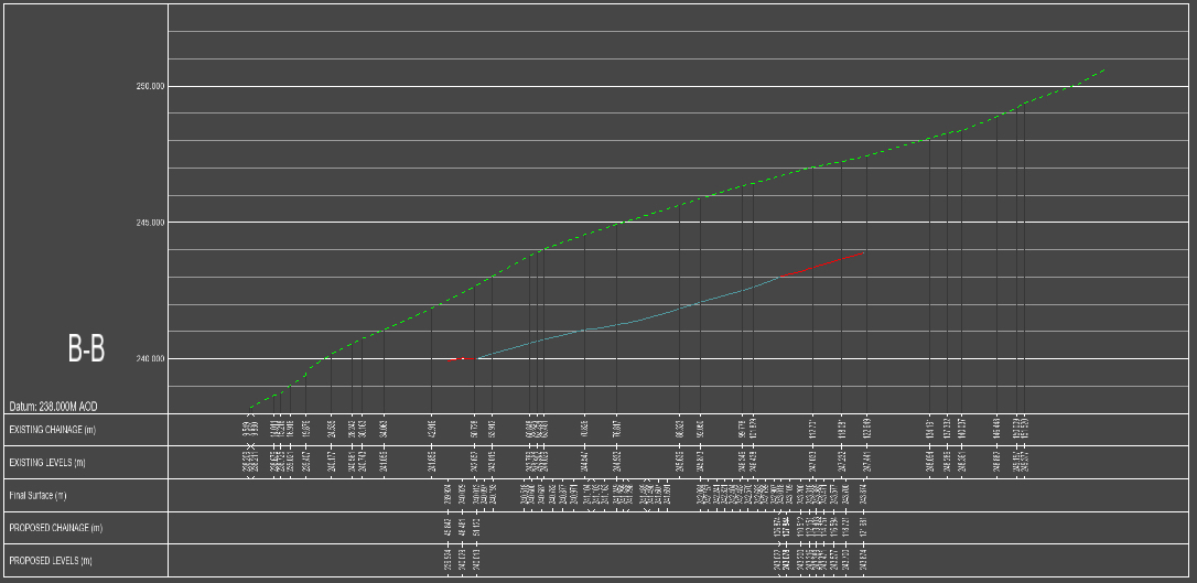
With the above information, a quantity surveyor was utilised to analyse the results and combined with the architect and structural drawings. it is expected that a total of 10,000 cubic meters of top soil/peat material would need to be used and disposed. This would equate to an approximate amount of 500 wagon loads to remove material off site to be disposed off and then something similar to build the car park. This would come at an estimated cost at £750k excluding VAT, design fees, expenses, site drainage, tree felling, W/C facilities, signage, contingency and any of the development of the trail taken into consideration.

Durris Overview
With the above information, this has put a big question mark on the feasibility of Durris being both an ecological and economical development. With the quarry that is onsite being out of limits due to implications with voiding FLS’s tax exemption for its use, this would mean all material to build the site would need to be imported, therefore hugely increase the development cost and carbon footprint of the project.
The issues with the ground have become apparent from the recent issues with the storms which has seen a considerable amount of wind blow on the lower areas of Mundernal Hill. This has resulted in the review of the safety of the site which has determined that the site will now have to be fully clear felled by FLS which would loose any tree canopy that is remaining. This area of forest consists of 80-90% of phase one of the project and had a predicted life cycle of approx. 15 years until it was going to be required to be felled after the finning operations recently complete and shows that this could not have been foreseen.
With the combined information from the Trail Pits and Quantity Surveyor, this has left the project at Durris with three options:
To progress on with Durris, no matter the cost, increase in carbon footprint, time it takes, disruption to the local community through removal and import of material.
To take the valuable lessons learnt forward, including the expertise we have gained and locate a new site.
To close down the project and the charity, giving away the remaining balance to ongoing projects in the area.
Down But Not Out
Moving forward we have taken the choice to assess the ability of locating a new site. This has kick started an assessment of the current business model and generated a new business strategy to open up communication with landowners at various sites.
The new business strategy sets out our Aims and the Objectives, Strategies and Tactics required to achieve those aims. Our Aims and Objectives, including lessons learnt and agreed by the Trustees and the committee, will be the basis for decisions and communications, choosing our partners and stakeholders, engaging our members, underpinning our social media content and all other activities. In essence, they describe Gravitate North East and can be accessed via the following links:
In conjunction with the current climate, we are heavily reliant on grant funding which has largely been effected by the current economics. The value, aims and access to these funds varies over time and, therefore, we will operate a portfolio of opportunities to match to funds that are available. This will mitigate the risk of one project stalling, because of land access, funding, ground conditions, or planning, and the activity of the charity being put on hold. And allowing opportunities to be taken when they are most likely to proceed. This may include a phased approach to a development on one site.
In 2023 we are looking to progress the new feasibility of the sites against the Aims, Objectives, Strategies and Tactics with interested landowners to take the project forward. This will then be combined with developing a business case tailored to the specific site(s) to support both planning and funding.

Recent Comments